Ocean Science Is Moving From Rare Visits Toward Persistent Presence
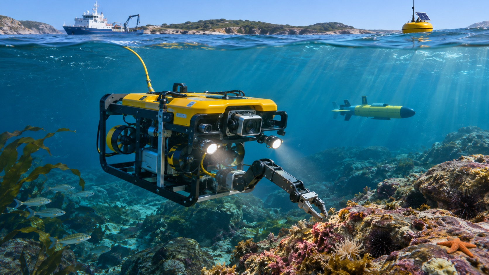
Underwater robots are changing ocean exploration by extending observation across distance, depth, and time. Research ships once provided the main platform for cameras, samples, and instruments, but ship days are expensive and weather limits every cruise. Autonomous vehicles can map while the vessel performs other work. Gliders repeat long transects for months. Remotely operated vehicles let scientists examine a vent, coral, wreck, or geological layer in real time and collect a precisely documented sample. Seafloor landers remain after the ship leaves, and robotic surface vessels relay data from instruments below. This does not make ships or human expertise obsolete. It changes what those limited resources can accomplish. Scientists can arrive with better maps, revisit a site through seasons, coordinate several scales of observation, and direct human attention toward the most revealing anomalies instead of spending every hour searching.
A: No; they extend ship work and shift limited time toward targeted tasks.
A: Shorter range produces finer sonar detail than distant ship surveys.
A: Several platforms sample its position and properties through time.
A: Some can, though precise autonomous collection remains technically demanding.
A: Long endurance provides repeated profiles between occasional cruises.
A: It flags patterns and anomalies for scientists to examine.
A: Continuous records capture rare events and long-term change.
A: They reduce some costs but still need operators, recovery, and data work.
A: It can exchange power and data without recovering a vehicle to a ship.
A: People frame questions, judge evidence, and decide how discoveries matter.
Exploration Is Becoming Less Dependent on One Ship
Research vessels remain essential for launch, recovery, laboratories, and complex ROV work, but robots let one cruise conduct several activities at once. An AUV may survey beyond the ship while a lander records the seabed and shipboard teams analyze earlier samples. Long-endurance vehicles can deploy from shore or remain after departure. This distributes work across platforms and time. The transformation is operational: valuable ship hours shift from broad searching toward targeted sampling, calibration, maintenance, and interpretation.
Seafloor Maps Are Becoming Sharper and More Complete
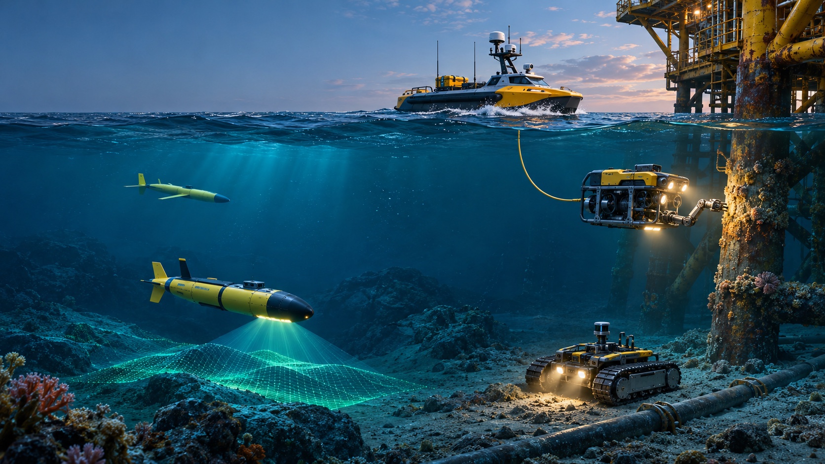
A ship sonar is far above the seabed in deep water, so fine detail is difficult. An AUV can fly tens of meters above terrain and map with multibeam or side-scan sonar. Consistent altitude produces high-resolution geometry of canyons, vents, reefs, faults, and wrecks.
Close mapping also improves navigation for later dives. Scientists identify slopes, hazards, and targets before directing a tethered vehicle into difficult terrain. Repeat surveys reveal sediment movement or geological change.
Robots Can Follow Clues Across Several Scales
Exploration often begins with a broad signal: unusual chemistry, temperature, bathymetry, or biological activity. Long-range vehicles find the region, higher-resolution AUVs map it, and ROVs inspect and sample selected points. Landers then record change through time. This nested approach connects basin-scale context with centimeter-scale observations. Each platform answers a different part of the question. Shared coordinates and time standards let teams assemble the layers into one scientific account rather than a collection of isolated dives.
Hydrothermal Vents Can Be Studied Without Guesswork
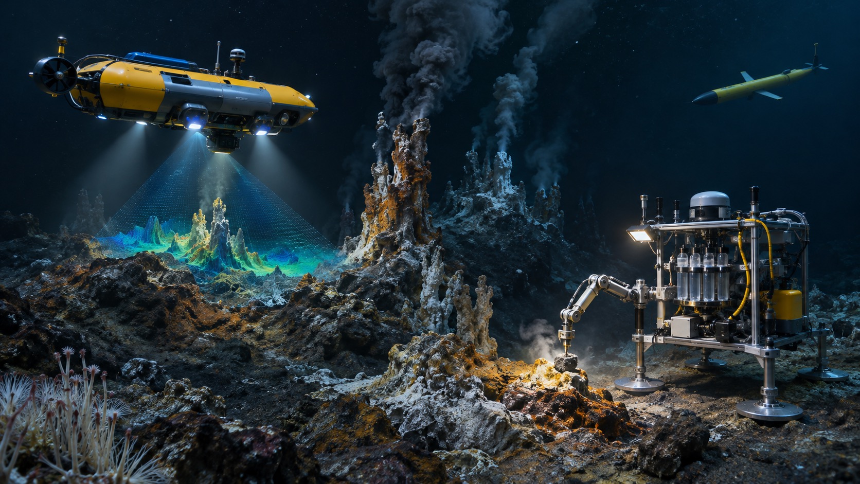
Robots detect temperature and chemical anomalies in the water, map mineral chimneys, photograph communities, and collect fluid, rock, and organisms. ROV pilots place samplers precisely while scientists watch live.
Repeated robotic visits reveal how flow and biology change after volcanic or seismic events. High heat, steep terrain, darkness, and corrosive fluids demand careful vehicle positioning. The ability to approach methodically protects fragile sites and irreplaceable instruments.
Long-Endurance Gliders Reveal Ocean Change
Gliders cross fronts, boundary currents, storm tracks, and remote seas while measuring temperature, salinity, oxygen, chlorophyll, and other properties. Repeated profiles show how conditions evolve between occasional ship cruises. Fleets can sample several paths at once. Their slow movement and modest payload do not replace ships, but persistence captures processes that a short visit misses. Near-real-time summaries support weather, climate, ecosystem, and forecasting work. Scientists adapt routes as currents move the vehicle or new questions arise.
Under-Ice Exploration Is Expanding
Ice blocks satellites from viewing the ocean and prevents ordinary surfacing. AUVs can map the underside of sea ice or ice shelves, measure melt, and study water circulation. Navigation and recovery are demanding because the vehicle cannot simply rise for GPS.
Teams use acoustic references, conservative routes, and strong energy reserves. Some operations connect through holes or ships at the ice edge. The reward is direct evidence from regions central to climate and sea-level change.
Deep Ecosystems Are Observed With Less Disturbance
Quiet autonomous vehicles and fixed observatories can watch animals without continuous ship noise and bright ROV lights. Low-light cameras, passive acoustics, environmental DNA sampling, and chemical sensors reveal presence and behavior. Mission planners still consider vehicle sound, illumination, wake, and contact. Robotics does not eliminate disturbance, but it provides more ways to measure and reduce it. Longer observations reveal daily and seasonal patterns that brief dives can misinterpret.
Marine Archaeology Gains Detailed Site Records
AUV sonar finds wrecks and submerged landscapes across broad areas. ROVs and photogrammetry vehicles capture overlapping images for three-dimensional models. Archaeologists can examine structure, artifact context, and deterioration without moving every object.
Precise records support monitoring and public interpretation. Manipulation remains conservative because currents and vehicle contact can damage fragile material. Legal permission and cultural stewardship guide exploration as strongly as technical capability.
Robotic Sampling Preserves Context
A sample matters scientifically when its location, orientation, surrounding habitat, and collection method are known. ROV cameras document a target before an arm places it in a labeled container. Push cores preserve sediment layers; fluid samplers isolate vent chemistry; suction tools collect small organisms. Onboard sensors connect material with temperature and water properties. Better context lets laboratories interpret results confidently and reduces unnecessary collection. Emerging autonomous sampling seeks the same discipline without continuous piloting.
Artificial Intelligence Helps Sort Vast Surveys
Robots collect more sonar, imagery, and sensor data than people can examine during a cruise. Machine-learning tools flag animals, litter, corrosion, geological forms, and unusual signals for review. Onboard detection may let a vehicle slow, change altitude, or capture extra images around an anomaly.
Models can miss unfamiliar features or reproduce biased training labels. Scientists retain original data, review detections, and report uncertainty. Automation directs attention; it does not turn classification into unquestioned fact.
Coordinated Fleets Sample Moving Processes
One vehicle records one path while the ocean changes around it. Several gliders, floats, surface vessels, and AUVs can surround a front, follow a plume, or measure a bloom simultaneously. Coordination divides territory and avoids collisions. Surface platforms relay commands and positions. Fleet science separates variation across space from variation through time, a problem that single-platform surveys struggle to solve. The challenge shifts toward interoperable communication, shared mission planning, and consistent calibration among many smaller instruments.
Seabed Observatories Extend the Timeline
Robotic landers and cabled observatories measure earthquakes, currents, chemistry, sound, and biology for months or years. Mobile vehicles visit to download data, inspect instruments, or exchange samples. Continuous records capture rare events that ships cannot schedule.
Long deployments face fouling, corrosion, burial, cable damage, and sensor drift. Redundant measurements and planned servicing preserve scientific value. Power and communication determine whether data arrives live or waits for recovery.
Exploration Is Becoming Safer for People
Robots work at depths where divers cannot go and reduce the need to place crew near ice, severe weather, contaminated water, or unstable structures. They inspect routes before a human submersible or dive. Safety gains are not automatic: deck crews still handle heavy equipment beside moving seas, batteries carry hazards, and recovery can become urgent. Better robotics shifts risk away from prolonged underwater exposure while demanding disciplined surface operations.
Open Data Is Expanding Who Can Explore
Robotic maps, video, and live ROV feeds allow scientists, students, and the public to participate far from the ship. Shared datasets support new questions after a cruise ends. Standard formats and documented calibration make observations reusable.
Access also requires bandwidth, processing, and context. A dramatic clip should not be separated from depth, location, and sampling method. Responsible sharing protects sensitive habitats and cultural sites where exact coordinates could cause harm.
Smaller Vehicles Lower the Cost of Repetition
Compact AUVs, gliders, floats, and surface robots can be deployed more frequently than major ship systems. Universities and regional agencies can monitor local coasts, lakes, and fisheries. Lower unit cost also makes fleets and risk-tolerant missions possible. Small vehicles have limited energy, sensors, and depth, and they still need trained support. Their impact comes from matching modest platforms to focused questions rather than imitating every capability of a large ROV.
Ocean Models Gain Better Observations
Forecasts of currents, oxygen, heat, storms, and ecosystems depend on measurements. Autonomous platforms fill gaps beneath clouds, at depth, and between shipping routes. Data assimilation combines observations with numerical models, which then guide new robotic sampling toward uncertain regions.
This feedback loop makes exploration more purposeful. Scientists must account for sampling bias because robots travel where missions and currents allow. More measurements improve models only when their quality and representativeness are understood.
The Next Transformation Is Cooperative Infrastructure
Future exploration will connect ships, satellites, surface robots, underwater fleets, observatories, and shore laboratories. Shared interfaces could let a surface vessel launch an AUV, receive acoustic summaries, redirect a glider, and call an ROV to a discovered target. Docking stations may recharge vehicles and upload data without recovery. The hardest work is not one spectacular robot; it is dependable navigation, communication, power, calibration, and data custody across the network. Standards and serviceable interfaces will decide whether platforms cooperate beyond a single demonstration.
Discovery Still Depends on Human Questions
Robots expand where, how often, and how precisely people can observe, but they do not decide which discoveries matter. Oceanographers, engineers, ecologists, geologists, archaeologists, communities, and policy makers frame questions and interpret consequences. A vehicle can reveal an unknown reef or methane seep; people connect it with climate, habitat, history, and stewardship. Transformation is meaningful when greater access produces better understanding and more responsible decisions, not merely more footage from the deep.
Human curiosity supplies the direction that greater robotic reach cannot choose for itself.
Robots Are Changing When a Discovery Becomes Actionable
Earlier ocean expeditions often separated observation from response. A surprising feature might appear in ship data after the vessel had left the region. Modern robotic networks can process selected information at sea, transmit compact summaries, and redirect another platform while the opportunity remains. An AUV that detects a chemical plume can tighten its survey; a surface robot can relay the result; an ROV can later collect a targeted sample. This shorter loop does not eliminate deliberation. Scientists set thresholds, review uncertain detections, and protect the vehicle’s energy and recovery plan. It does, however, turn exploration from a fixed line into a sequence of evidence-based choices. The same approach supports conservation and hazard monitoring: teams can investigate a bleaching event, damaged cable, methane release, or unusual animal aggregation sooner. The transformation is not simply faster data. It is the ability to connect detection, verification, sampling, and follow-up within the timescale of the ocean process being studied.
Stewardship Is Becoming Part of Mission Design
Greater robotic access makes it easier to revisit remote habitats, but access also creates responsibility. Scientists plan flight altitude, lighting, sampling volume, acoustic output, and disclosure of sensitive locations before deployment. Communities and regulators may define which questions, specimens, or cultural sites should be approached.
Robots can support stewardship by measuring change consistently and reducing unnecessary collection. Their value grows when exploration leaves enough context for future researchers and enough habitat for the system being studied.
Exploration Capacity Now Extends Between Expeditions
Persistent robots keep collecting observations while proposals, ships, and laboratories prepare the next intensive campaign. That continuity helps researchers arrive with sharper questions and preserves a record of change that no single cruise could reconstruct.
The Ocean Still Rewards Patience
Robotic endurance increases opportunity, but careful calibration, repeated observation, and restrained interpretation remain the foundations of discovery.
Long missions reveal patterns that dramatic single dives can miss.
The transformation is powerful because machines can wait, return, and measure consistently.